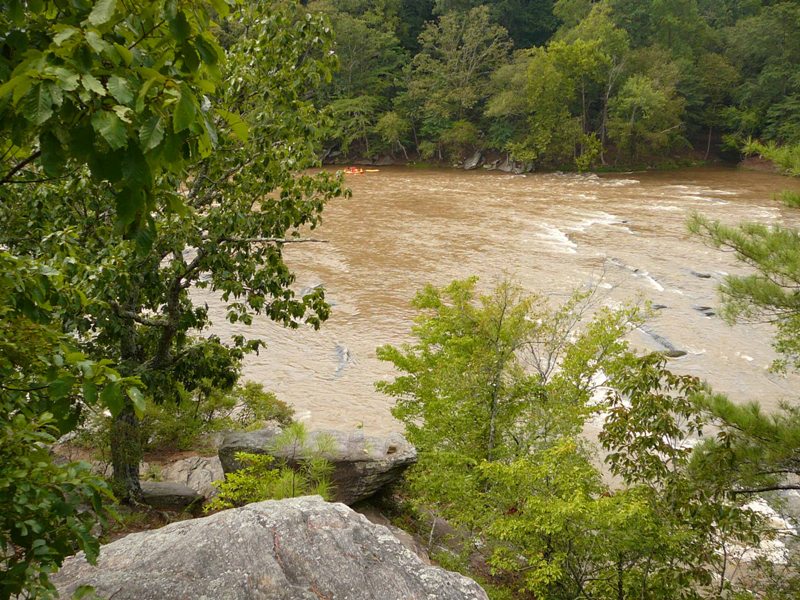
NOTE: This trip is limited to 15 participants, and preregistration is required. Parking is limited, please carpool if you are able. To register, email Jess Riddle at Field Trip Leaders: Jim Sullivan, Sam Taylor, and Jess Riddle Description: Soapstone Mountain outside of Toccoa doesn’t have any soapstone. Instead, the amphibolite that makes up […]
Tuesday, July 7, 2026, 1:30-3:30 pm, Chattahoochee River Natl Recreation Area, Johnson Ferry North: Grassland Wildflowers, Cobb County
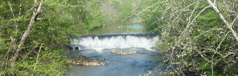
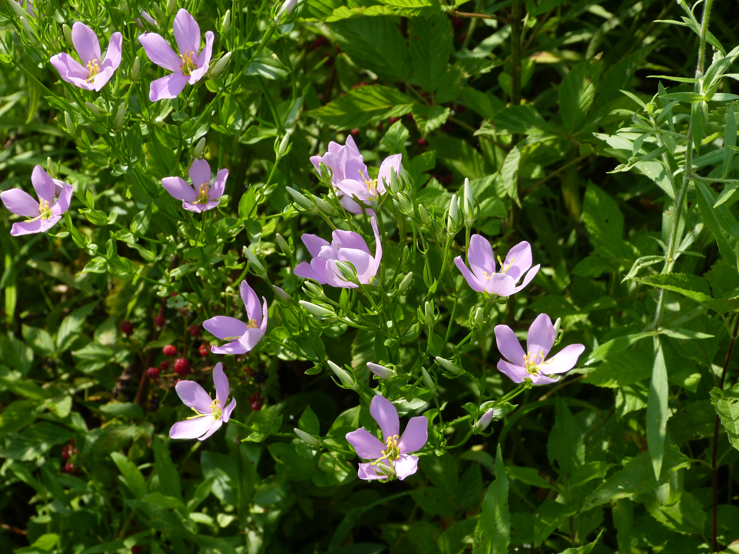
Note: Preregistration is requested. Please email Carol Schneier at: Field Trip Leader: Carol Schneier Description: We will explore a grassland along a pipeline right-of-way near the Chattahoochee River. Location & Directions: I-285 Exit 24, North on Riverside Dr NW about 2.25 mi; Left on Johnson Ferry Rd NW; 0.2 mi to Right (North) into the […]
Tuesday, July 14, 2026, 1:30-3:30 pm, Chattahoochee River NRA, Johnson Ferry North: Grassland Wildflowers, Cobb County
NOTE: Preregistration is requested. Please email Carol Schneier at: Field Trip Leader: Carol Schneier Description: We will explore a grassland along a pipeline right-of-way near the Chattahoochee River. Location & Directions: I-285 Exit 24, North on Riverside Dr NW about 2.25 mi; Left on Johnson Ferry Rd NW; 0.2 mi to Right (North) into the […]

Saturday, July 18, 2026, 2:00 pm, Summer Oak (Quercus) Tree ID Workshop (Zoom Session)
Note: Preregistration is required. Email Richard at Instructor: Richard Ware Description: We will examine the characteristics used to identify the major oak trees found in Georgia. We will concentrate on leaf characteristics but may also use bark, acorn, twig and bud features. There will be a Power Point Presentation with diagrams illustrating the […]
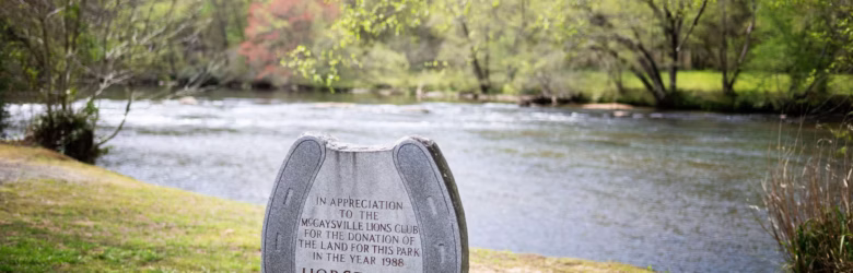
Saturday, August 15, 2026, 10 am – 2 pm, 100th Anniversary Picnic & Annual Meeting, Mineral Bluff, Fannin County
GA BotSoc 100th Anniversary Picnic and Annual Meeting Join us this summer in the Georgia mountains for the 100th Anniversary Potluck Picnic. This 100th year anniversary of the Georgia Botanical Society Annual Meeting will be a picnic at the park. The annual meeting event will consist of a business meeting including election of officers, followed […]
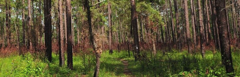
Tuesday, August 18, 2026, 1:30-3:30 pm, Chattahoochee NRA, Whitewater Creek: Floodplain Forest, Fulton County
NOTE: Preregistration is requested. Please email Carol Schneier at: Field Trip Leader: Carol Schneier Description: We will explore a typical Piedmont floodplain forest for a couple of hours, identifying overstory trees, midstory and shrubby plants comprising this ecosystem. Location & Directions: I-75 Exit 256, turn NE on Mt Paran Rd. Drive 0.2 mi, turn […]
Saturday, September 5, 2026, 12:00 pm, Roadside Botanizing: Waycross/Folkston Area
Preregistration required. Limit 15 people. Please email Rich Reaves at: Field Trip Leader: Rich Reaves Description: We will travel along HWY 1 toward Folkston. Our first area to investigate will be along GA 177, heading to the entrance of Okefenokee Swamp Park. We will make stops along HWY 1 between there and Folkston. From Folkston […]
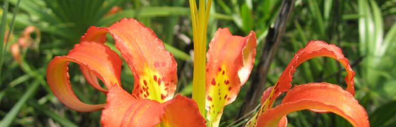
Sunday, September 6, 2026, 8:00 am, Roadside Botanizing: Waycross/Folkston Area
Preregistration required. Limit 15 people. Please email Rich Reaves at: Field Trip Leader: Rich Reaves Description: We will start the day heading east on HWY 82 and stop at interesting locations along the road until we reach Nahunta. From intersection in Nahunta, we will take GA 301 south toward to Folkston. We will stop at […]

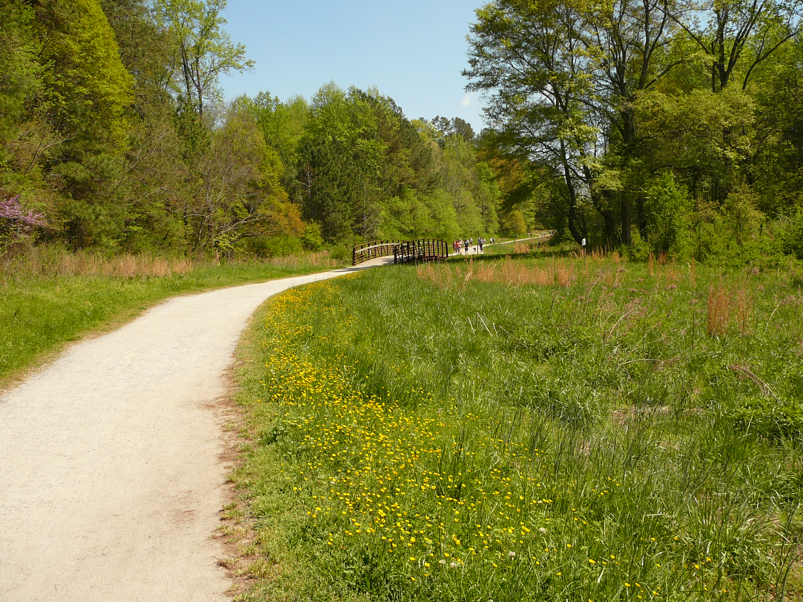
Tuesday, September 15, 2026, 1:30-3:30 pm, Chattahoochee NRA, Island Ford: Oak-Hickory Forest, Fulton County
Preregistration is requested. Please email Carol Schneier at: Field Trip Leader: Carol Schneier Description: We will explore a typical Piedmont Oak-Hickory forest for a couple of hours, identifying overstory trees, midstory and shrubby plants comprising this ecosystem, as well as discussing its dynamics over time. Location & Directions: GA-400N Exit 6; N […]
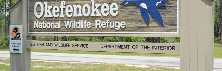
Saturday, September 26, 2026, 10:00-12:00 with optional extension, Okefenokee NWR, Suwannee Canal and Chesser Prairie
Preregistration is required. Registration Link coming soon. Field Trip Leader: Katie Antczak Description: Join us for a journey into the Okefenokee National Wildlife Refuge, a biodiverse blackwater wetland teeming with over 850 different plant species. We’ll explore the Suwannee Canal and Chesser Prairie, showcasing iconic flora such as carnivorous pitcher plants, delicate bladderworts, towering […]